
 LinkBack URL
 About LinkBacks
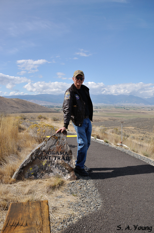
The Interpretive Center has a number of trails to points of interest. They are switch backs, so that as much as possible the grades are gentle, allowing as many people as possible to walk them. I saw the desitination in the distance, had a good idea of how good the view would be, and insisted I was going, whether Mike did or not.
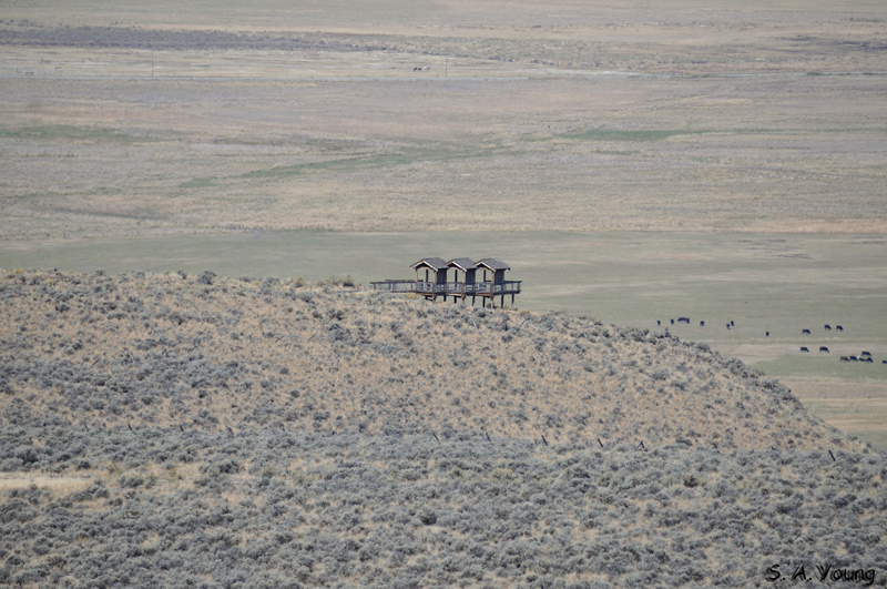
The platform at Panorama Point
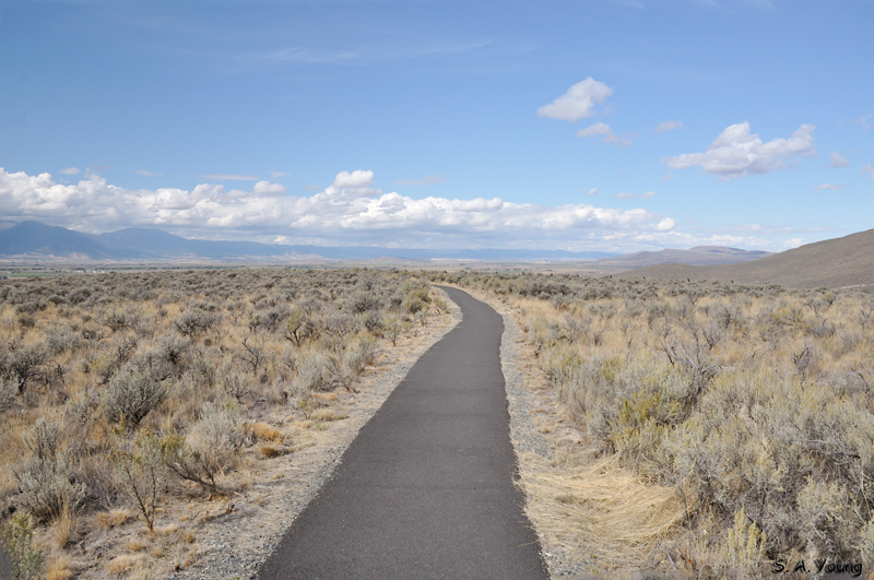
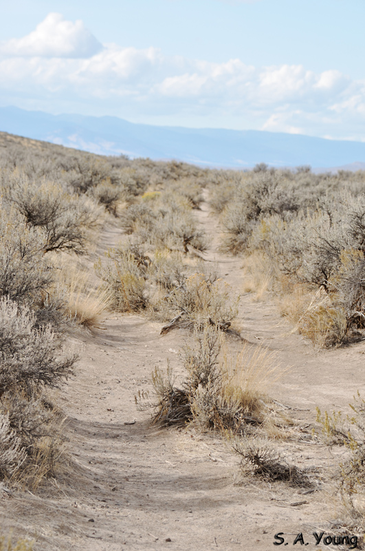
The start of the trail
Much of the trail is this flat
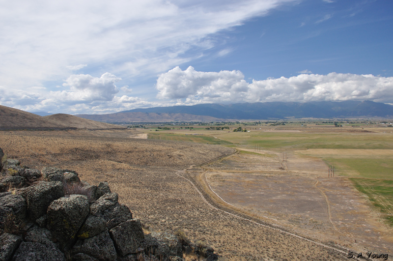
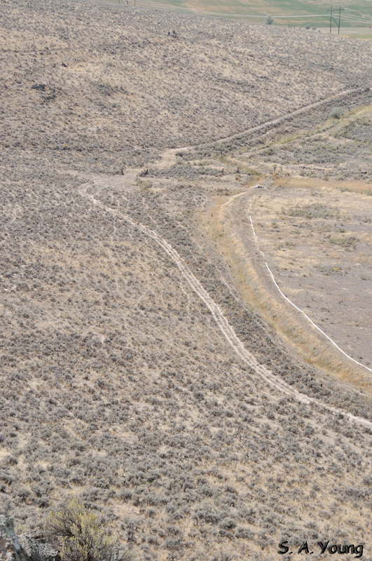
One of the things easily seen once you get there is wagon ruts. There's a waterhole just a few yards from the ruts. The trains were cutting through the passes in the hills, which allowed for quicker transit, but there wasn't as much in the way of water. They almost all stopped at this one, even though it was a hot spring. It was the first water they'd come to for over a week.
Another angle on the ruts.


 Reply With Quote
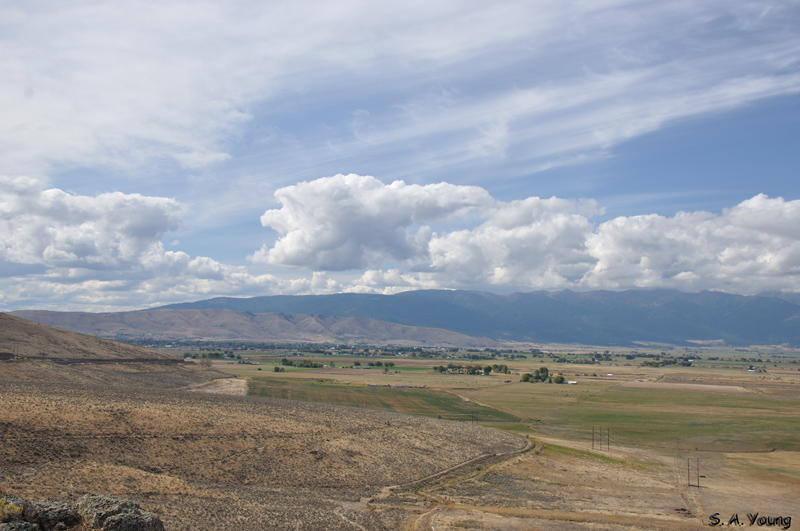


Bookmarks